
Today’s Stats
Distance: 102kms
Elevation: 2472m
Time: 6 hours 50mins
Accumulative distance: 904
Daily Disasters: There were some. 1. Komoot took me on 10kms of gravel. 2. Komoot tried to take me down a closed road. 3. I went down the closed road. 4. Campsite was closed.
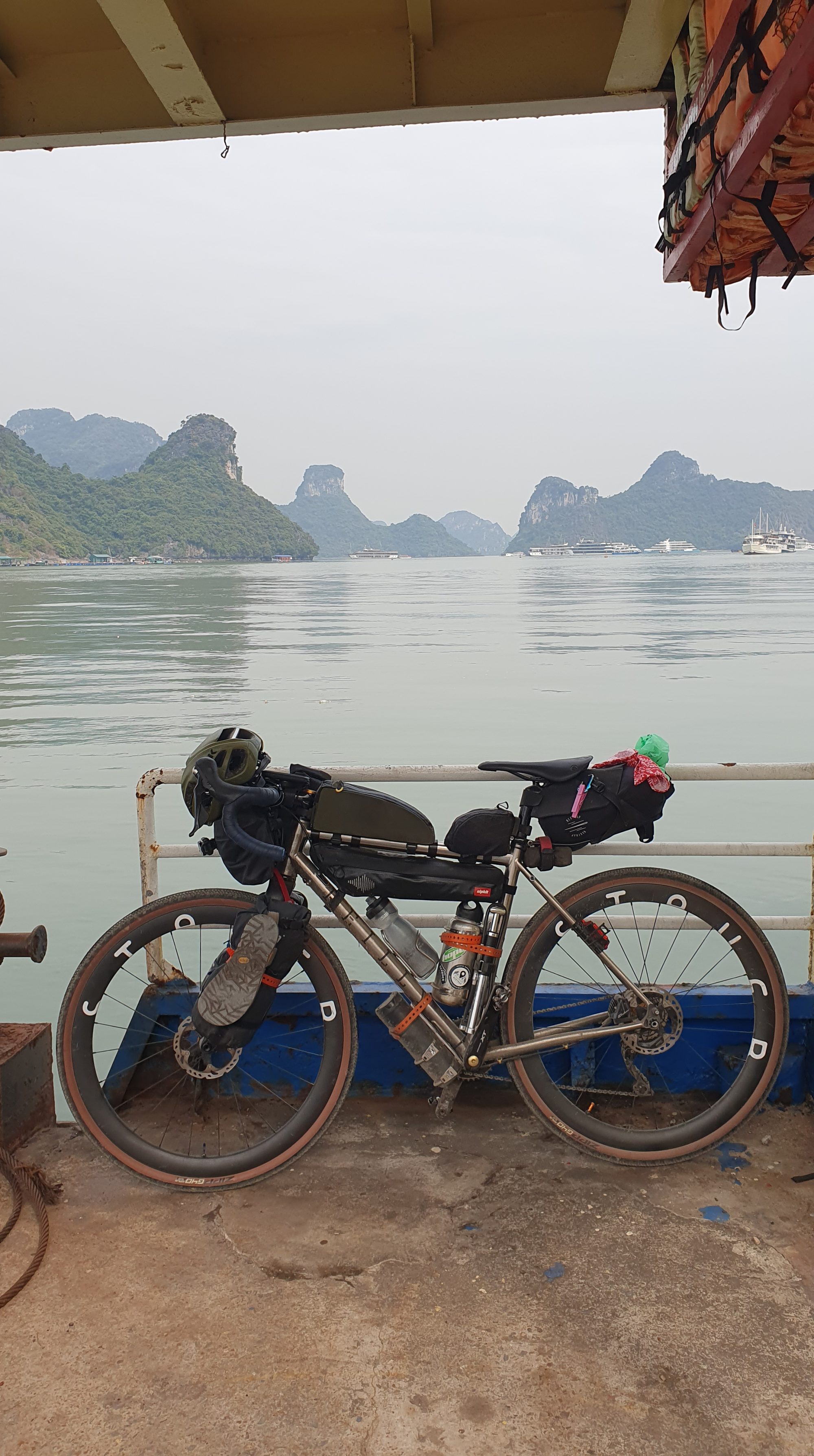
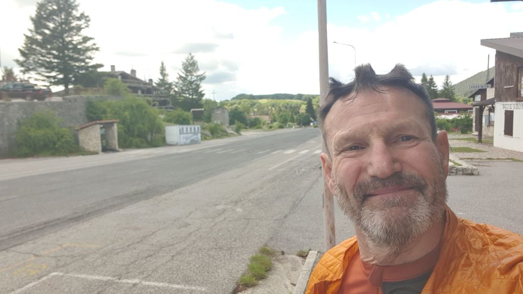
6.45 as I left the campsite. My socks were wet, my jersey was wet, my gloves were soaked, it’s really not a nice feeling. 10kns in I stopped for coffee and a couple of croissants, a great pick me up.
Other apps said sunshine but the BBC app said thunder and heavy rain, luckily all day we had the former. But at 1500m it’s quite cool and I wore my Albion UL jacket, keeps my chest warm but my arms sweat and the material sticks to them, it feels like being wrapped in a plastic bag.
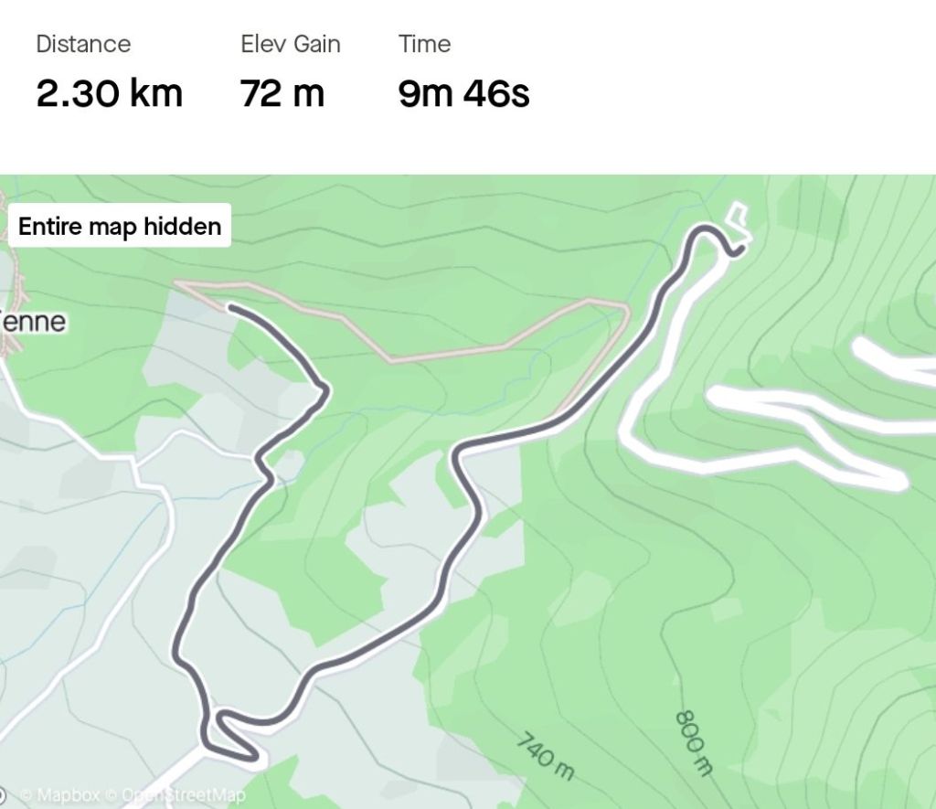
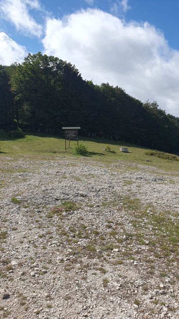
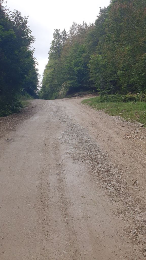
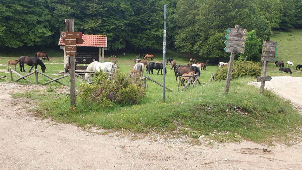
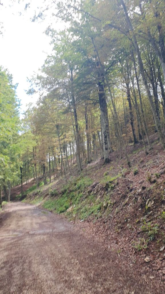
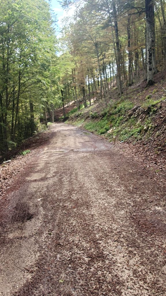
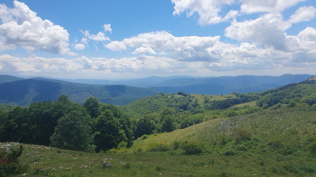
The road had been gently rising but at Cappadocia the road turned left and took a serious up turn. Twisting and turning up the sides of the mountain to a ski resort. At this point much to my disdain the road turned to gravel for the next 10kms. This part of the route I can hardly day how good it was, I was in a national park. I saw no-one. If I had gravel tyres it really would have been fantastic but I was worried. And I was alone in the middle of nowhere.

Eventually I was spat out onto a road so pleased, there were some tat stores only one of which was open. But I rolled to go down the road abd there in front of me was a Road Closed sign, but only one bollard. I went to the guy in the shop and quizzed him, he was the most unhelpful man. But he pointed in the opposite direction to the road and said go back to Cappadocia. Ooooo I was upset and angry. I started to go down the road in the direction he pointed, but it went immediately to dirt. I thought if I’m going back to Cappadocia it’ll be by the route I came, my Garmin will direct me there.
Getting back to the shop, it was now closed and the guy had gone. There was only one place he could have gone, down the closed road. I decided to go that way. It was stupid and sooooooo scary. The road clung to the side of the mountain sheer vertical above and below. I rolled down slow, dreading it would be blocked coz it was steep to go back up. Eventually I saw 2 cyclists coming up and asked if the road was clear they said yes. I rolled faster but still cautious. There had been a bit of stone fall onto the road. I got to a town and felt safe.
The road kept descending to Jenne where I stopped for a bit of lunch. I knew I had a climb to 1500m and the campsite I was aiming for. Out of Jenne the road topped at 22% of course I was walking way earlier than that.
It kept going up and up and I was getting tired. I met an italian guy who was out for a 9 day hike, I asked about the campsite he said it was open.
When I finally got to the csmpsite it was closed despite someone inside. Grrrrrrr. This area would be perfect for a wild camp, I cracked and booked a hotel.
I had stopped my Garmin. Then I started it to ride to the hotel, then when I got there the guy said it was a littke further, he didn’t tell me how steep the hill would be.
Don’t forget to check out my full route here: https://share.garmin.com/acoupleofdaysrideoutta